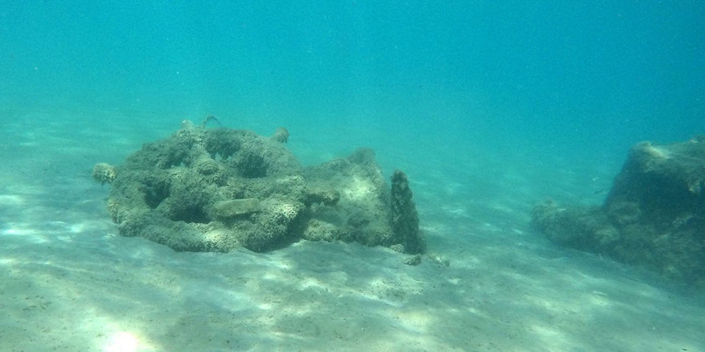
Two shipwrecks on the surface of the seabed in the bay of Methoni were identified and recorded by the marine geophysical surveys carried out by the Ephorate of Marine Antiquities in collaboration with the Laboratory of Marine Geology and Physical Oceanography of the Geology Department of the University of Patras.
The detailed investigations carried out afterwards used a sub-bottom profiler and a magnetometer at the wreck site to determine the presence of metallic and magnetic elements associated with them, while in addition, parts of them buried on the bottom were located and mapped.
On one wreck the magnetometer showed buried metal targets, possibly related to its cannons. Also, a large number of metal and magnetic targets were detected in the bay of Methoni, which in the next phase will be visually confirmed.
The findings are extremely important and make the marine area of Methoni one of the most important marine archaeological sites in the country, while the area can be an excellent natural laboratory for the testing and development of new methodologies and technologies in marine geoarchaeology and management of archaeological sites.
Research was also carried out on the northern shores of Sapienza, where the two known wrecks were mapped in detail using geophysical methods, for the first time: a) the wreck of stone sarcophagi and b) the wreck of red granite columns.
The geoarchaeological investigations also focused on the submerged settlement of the Middle Bronze Age that has been identified in the bay of Methoni. The investigations shed light on this very important archaeological site, as it became possible to identify the entire area of the settlement, a significant part of which seems to be buried under the bottom sediments and therefore remains unexplored to this day.
In addition, the profiler helped to identify the geological formation on which the prehistoric settlement was built and showed the geological cause of its submersion below sea level. The synthesis of all the geophysical data collected will lead to the detailed paleogeographic reconstruction of the area during prehistoric times.
The investigations were carried out under the direction of the head of the EEA Dr. A. Simosi and the director of "ETHAGEFO", professor G. Papatheodorou.
The purpose of the investigations were, on one hand, the identification of ancient and historical shipwrecks, which rest on the bottom or are buried in its sediments and on the other hand, the paleogeographic reconstruction of the bay of Methoni over the last 10,000 years.
To achieve this dual purpose, new technology marine geophysical systems were used, namely, a high-resolution subbottom profiler, which locates targets buried several meters below the bottom, a side scan sonar to detect surface targets, a marine magnetometer to locate metallic and magnetic targets (even amphorae) on the surface of the bottom, but also buried under it, while in addition a multibeam echosounder was used to accurately map the bathymetry of the area, an important element for the its paleogeographic reconstruction and the three-dimensional visualization of natural and man-made formations of the bottom surface.
Article on Web
Latest Posts

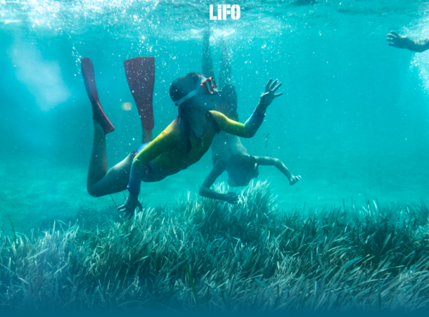
"Why are the Posidonia meadows so valuable for our seas?": Article in LIFO

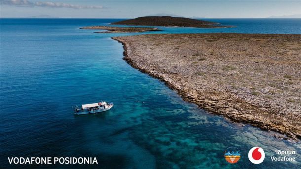
Vodafone Posidonia: Mapping of Posidonia oceanica Seagrass Meadows in Mykonos, Delos, and Rineia Completed
